Geospatial datasets and maps
Geospatial datasets and maps provide accurate and versatile information on land use, the environment, and infrastructure. The data is available by order or as open data.
Guide map
The guide map provides a general overview of land use in the Tuusula area. The map shows, among other things, fields and forest areas, waterways, roads (motorways, main roads and connecting roads), cycle paths and residential areas with their addresses. The map is designed for guidance and to provide an overview of the areas.
Base map
The municipality of Tuusula maintains a base map covering the entire municipal area. The base map serves as the basis for local detailed plan design. The base map contains information that is essential for planning and construction, such as property boundaries, buildings, transport routes, terrain features, waterways and elevation data.
Base map extracts can be ordered from the technical customer service of the building control department, for example, for the purpose of planning a building permit.
If you find any omissions or errors in the base map, please contact the geographic information unit at paikkatieto@tuusula.fi.
Current schedule
The current local detailed plan is a combination of the municipality’s legally valid local detailed plans, providing an overview of the current state of planning. The local detailed plan is the most detailed plan for land use planning, providing precise guidance for construction and land use. It is important to note that the current local detailed plan does not replace the original local detailed plan maps. Official and binding information can always be found in the original plan maps.
Municipal register
The municipality of Tuusula maintains various types of register data primarily for official use. This data includes, for example, building, building permit, coordinate, property and town plan data, which may be disclosed to a limited extent. The municipality does not maintain a register of property owners. Property owner information is managed by the national land registry. The municipality of Tuusula uses the property information system (KTJ) and its land registry information in its official activities. In accordance with the terms of use of the KTJ, we can disclose extracts from the land registry to customers for a fee.
Aerial photographs
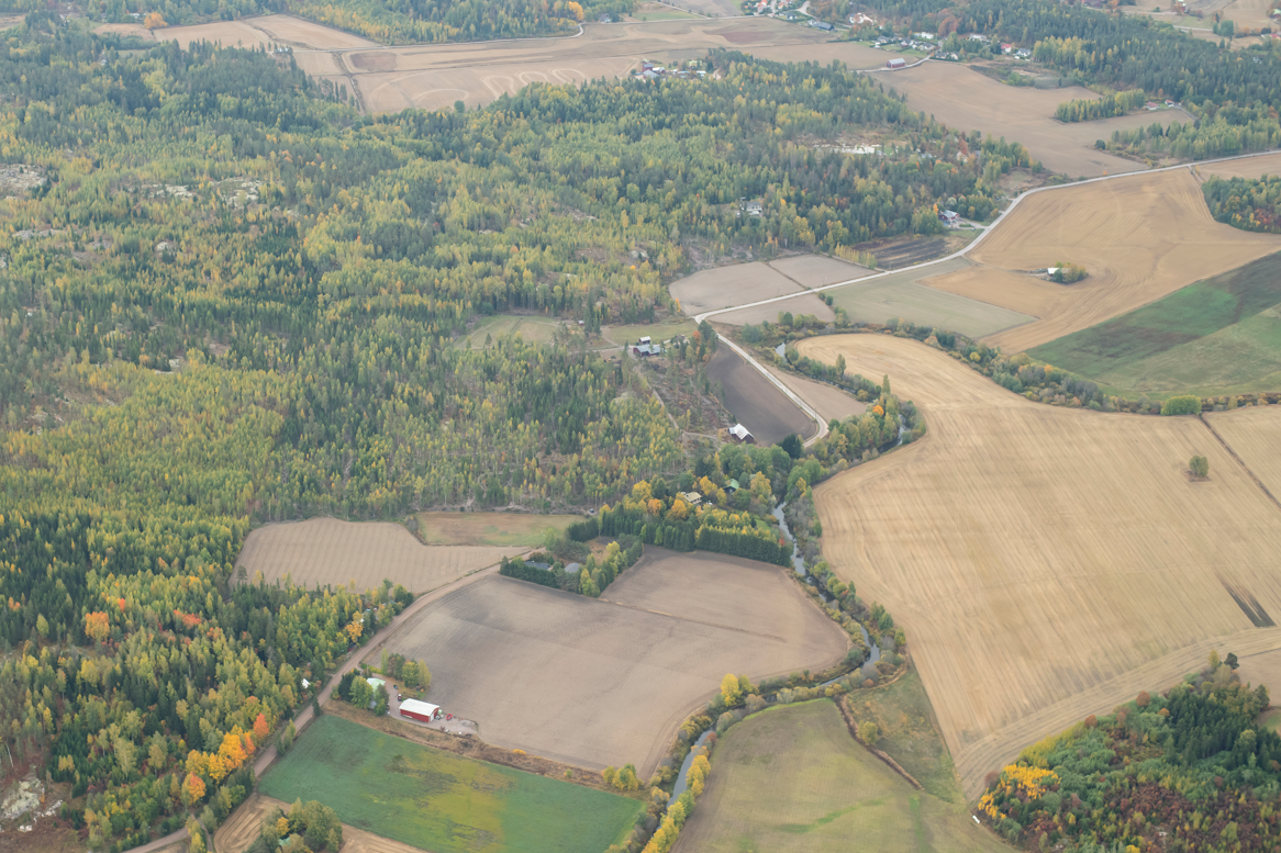
Orthoimages are map-like images produced from aerial photography that provide an accurate and dimensionally accurate view of objects on the ground. The municipality of Tuusula maintains orthoimages and makes them available for a variety of purposes. The images can be viewed and utilised, for example, through the municipality’s online services or ordered in a suitable format. Orthoimages are updated regularly to reflect changes in the area.
Official register and map extracts
When applying for building permits and conducting real estate transactions, official register and map extracts are required, such as base map, town plan and real estate register extracts, as well as title deeds and encumbrance certificates. These extracts can be purchased from the technical service point. The prices of the services can be found in the service price list at the bottom of this page.
Property ownership report
The property owner report includes the property ID, property name, owner name and address. The report is subject to a fee, and you will need the property ID to order it. Once you have obtained the property ID, you can order a title deed certificate, which is subject to a fee. The National Land Survey of Finland also provides property ownership information.
Please note that property ownership information is not disclosed for commercial purposes.
Requests can be made through the technical service point.
Terms of use for spatial data
Geographic information data is available in accordance with a separate order or agreement and the valid price list and terms of use. The municipality of Tuusula also has open data available via the WMS/WFS interface.
Terms of use
The user of the geographic information produced by the municipality of Tuusula must carefully read the terms of use below. By using the spatial data produced and provided by the municipality of Tuusula, the user confirms that they have read the terms of use and accept them as binding. The municipality of Tuusula may change these terms of use at any time, and the changes will take effect immediately. The terms of use are specific to each data set.
The Parties
The parties to the Terms of Use are the Municipality of Tuusula and the holder of the right to use the transferred material (hereinafter and previously referred to as the User). The municipality of Tuusula has received an order confirmation from the User or entered into a separate agreement for the delivery of digital map products or other geographic information materials (hereinafter referred to as the Product).
Right of use
The Municipality of Tuusula grants the User a limited right to use the Product it has manufactured under the terms and conditions set out below. The right to use the material is granted solely for the User’s inte al use. The right to use the Product may not be transferred to other parties without the permission of the Municipality of Tuusula. A backup copy of the delivered Product may be made.
Copyright
The Municipality of Tuusula holds the copyright to the aforementioned Product. The copyright of the Municipality of Tuusula is protected by the Copyright Act (404/61). As proof of the Municipality of Tuusula’s copyright, each data medium on which the Product is delivered must bear the notation “© Municipality of Tuusula” or another similar notation indicating that the final product contains material belonging to the Municipality of Tuusula.
Responsibility
The municipality of Tuusula is not liable for any errors or deficiencies in the Product or for any damage caused directly or indirectly by the use of the material in question. The municipality of Tuusula is also not liable for any errors caused by changes made to the Product after its delivery, deficiencies in the computer software used, or the manner in which the material is handled.
This must be agreed separately and a publication licence must be obtained if the Product is used as is.
- publications (e.g. newspapers, advertisements, brochures, books)
- maps (base maps and address maps)
- for other commercial purposes
- on the inte et service.
Resolution of disputes
Disputes conce ing product orders shall primarily be settled through mutual negotiations. If the dispute cannot be resolved through negotiations, it shall be settled in the Easte Uusimaa District Court.
Price list
Municipal Development Committee 9 April 2025 § 37
Valid from 1 May 2025.
This content has been translated using AI