
Land use planning
Land use planning determines how residential areas, workplaces, green areas and transport connections are located in the environment. A land use plan is used to guide construction and regional development. Land use planning is divided into several levels: a more general master plan guides more detailed local plans.
Getting to know local detailed planning
What is a local detailed plan? How does planning process proceed and how can you participate it at different stages?
Land Use Plan Review and Land Use Plan
The land use plan review is an annual bulletin that reports on current local detailed plan projects.
The land use plan is a work programme for local detailed plans for the next four years.
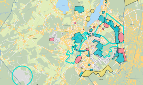
Plans under preparation and public consultation
Participate and influence − view pending zoning projects, provide feedback on zoning plans on display, and learn about current zoning news and events.
Public notices and announcements concerning building control and zoning
See the permit decisions and announcements that have been granted.

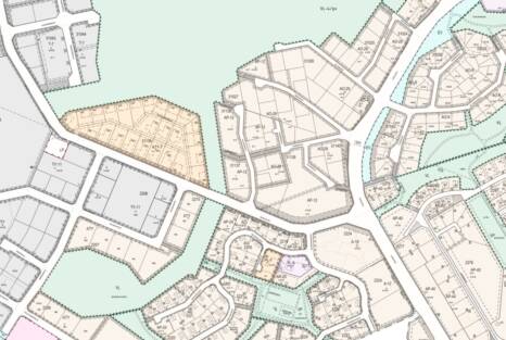
Local detailed plans
A local detailed plan is a plan drawn up by the municipality for the future use of an area. It contains detailed regulations on construction, such as the location, size and appearance of buildings. Here you will find information on local detailed plans that are currently in force, pending and available for public inspection.
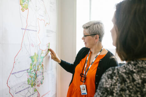
Local master plans and general plans
Local master plans, partial master plans and general plans provide a general overview of how the municipality plans to use its areas for different functions. This page provides more information about these plans.
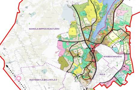
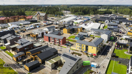
Project areas
There are three project areas in Tuusula: Hyrylä town centre, Rykmentinpuisto and the Focus business park. Read more about the development of the project areas and current plans.
Construction outside the detailed plan area
Permits required for construction outside the detailed plan area.
Land use reports and other plans
Reports related to land use planning
Subscribe to our newsletter
Tuusula publishes several newsletters. By subscribing to the newsletter that interests you, you will receive the latest information directly to your email.
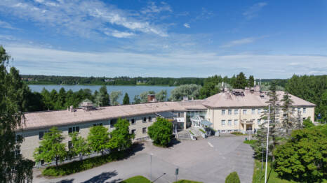
Tuuskoto’s market study has been completed – further negotiations will begin in the autumn
Tuusula Municipality has completed a market study on Tuuskoto. The municipality will begin further negotiations with interested parties in the autumn and will explore options for developing the building.
Planning activities during the summer holiday season
During the summer holiday period (29 June–31 July 2026), the Planning Department’s services will be limited.

Tuusulan Itäväylä I, plan number 3673, effective from 27 May 2026
The decision became final on 18 May 2026, and the plan came into force on 27 May 2026.

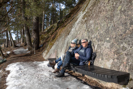
Children and young people’s views and experiences influence environmental planning – a toolkit has been developed to support participation
Tuusula’s ‘Child-Friendly Municipality’ initiative promotes opportunities for children and young people to have a say in the planning of their local environment. The participation toolkit, developed by the Growth and Environment Division, provides experts with tools to ensure that the voices of children and young people are heard more clearly than ever before.

Mattila II, plan number 3648, effective from 29 April 2026
The decision became final on 13 January 2026, and the plan came into force on 29 April 2026.
Green Network Plan, VISSI (No. 2009) proposal on display from 26 March to 15 May 2026
Green Network Plan, VISSI (No. 2009) proposal on display from 26 March to 15 May 2026

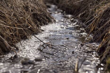
Common principles for land use along the banks of the Kerava River
Launched last summer, the Keravanjoki kuntoon! (Fix the Kerava River!) project by the Vantaanjoki and Helsinki Region Water Protection Association highlights key issues related to the aquatic environment, such as the need to draw up common land use principles for the banks of the Kerava River.

Changes in the state's responsibilities regarding planning and permitting matters
At the beginning of 2026, the official duties of the ELY Centres were transferred to ten regional vitality centres, the national Licensing and Supervisory Authority, and the Transport and Communications Agency Traficom. The ELY Centres ceased operations on 31 December 2025.

The Supreme Administrative Court rejected appeals concerning the Tuusula master plan 2040
On 5 December 2025, the Supreme Administrative Court issued its decision on the appeals and appeals for leave to appeal concerning the approval of the Tuusula master plan 2040. The decision rejects two appeals and one complaint and upholds the municipal council's decision to approve the plan in November 2022.

The Keravanjoki River of Dreams – vision work accelerates water protection
The Keravanjoki kuntoon! (Fix the Kerava River!) project, organised by the Vantaanjoki and Helsinki Region Water Protection Association, began in the summer of 2025. It brings together stakeholders along the river to find a common vision and goals for developing the river, i.e. to create a vision for fixing the Kerava River.
This content has been translated using AI