Spatial data and maps
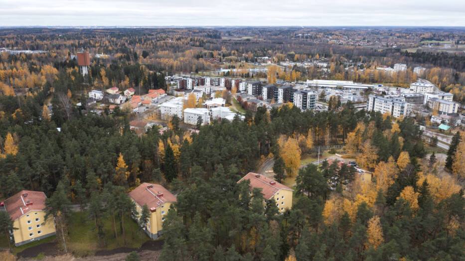
Spatial data includes maps, coordinates, and control point information. These are essential for municipal planning, construction, and development. Spatial data and map services are useful for residents, for example in projects related to construction.
Map and geospatial services
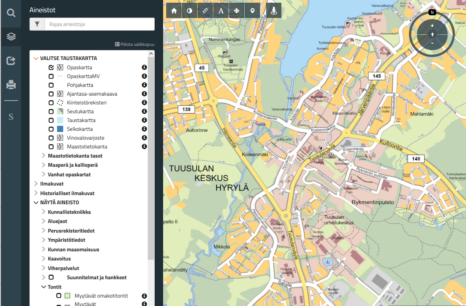
Map and geospatial services provide a wide range of information for residents, businesses, and public authorities. The information is easy to find.
Surveying services
The aim of the surveying services is to ensure an efficient and accurate construction process, support the development of urban areas, and provide public authorities and residents with reliable geodetic measurements and surveying information.

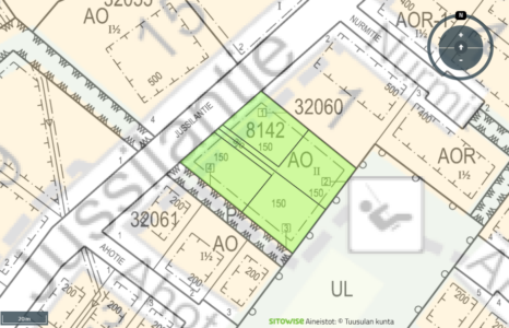
Geospatial datasets and maps
Geospatial datasets and maps provide accurate and versatile information on land use, the environment, and infrastructure. The data is available by order or as open data.

Address details
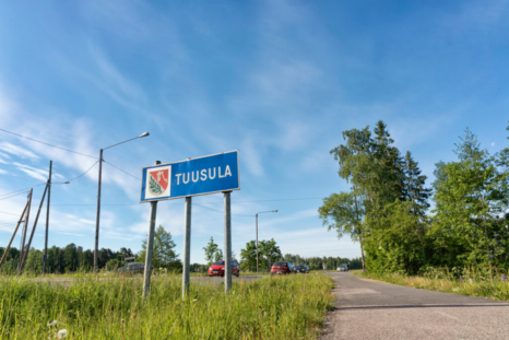
The purpose of the addresses is to facilitate the activities of operators and residents and to ensure access for rescue services and other critical services.
Coordinate system and fixed point data
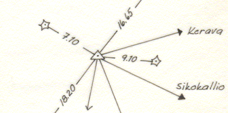
Coordinate and fixed point data ensure the accuracy of measurements and design. The municipality's official systems, ETRS-GK25 and N2000, as well as the fixed point network, provide a reliable basis for surveying and construction work.
Interpretation of formulas
The municipality offers customers calculations related to property formation and plan interpretation, in which coordinate values and/or surface areas are determined.
Open data
The municipality of Tuusula has opened up some of the geographic information data it produces to an open WMS/WFS interface.

This content has been translated using AI