Partial master plans
A partial master plan is a general land use plan for a municipality that guides the community structure, land use and transport network of the municipality. A partial master plan is a master plan drawn up for a specific area.
Partial master plans
Fourteen partial master plans have been drawn up for Tuusula.
- Tuomala II partial master plan (KV 29 May 2017):
- Focus partial master plan (KV 16 March 2015):
- Sulan partial master plan (KV 7 December 2015). Note: partially replaced by the Tuusula General Plan 2040
- Ruotsinkylä – Myllykylä II – partial master plan (KV 31 March 2014):
- Rykmentinpuisto partial master plan (KV 7 May 2012). Note: partially replaced by the Tuusula Local master plan 2040
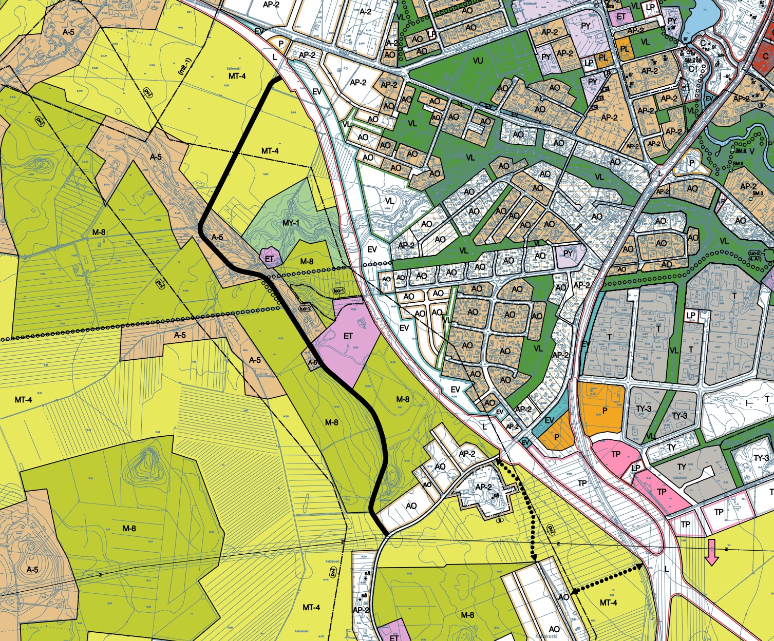
- Kellokoski partial master plan (KV 6 September 2010):
- Tuomala partial master plan (KV 16 October 2000). Note: partially replaced by the Tuusula General Plan 2040
- Ruskela – Vanhakylä – Ritasjärvi – partial master plan (YK 20.10.2000):
- Ruotsinkylä – Myllykylä – partial master plan (YK 4 March 1998). Note: The weste side of Myllykyläntie has been replaced by the Ruotsinkylä – Myllykylä II partial master plan
- Nahkela – Siippoo – Rusutjärvi – partial master plan (YK 22 June 1998):
- Linjamäki – Keravanjokilaakso – partial master plan (13 November 1994, no legal effect). Note: partially replaced by the Kellokoski partial master plan.
Partial master plans in the map service
The Tuusula map service allows you to view the municipality’s local master plans on a map. When you click on a plan area, the plan regulations will open in a new tab on the map.
This content has been translated using AI